How to E-Scout Montana Hunting Units
Trying to make sense of the vast, often intimidating landscape of Montana for hunting can feel like searching for a needle in a haystack, especially if you're not physically there to scout. The sheer scale, diverse terrain, and complex public land access can leave even seasoned hunters feeling overwhelmed. This guide is here to demystify the process of e-scouting Montana hunting units, offering practical, detailed strategies to help you unlock prime hunting spots right from your computer.
What Exactly is E-Scouting for Montana Hunting?
E-scouting, short for "electronic scouting," is the art and science of using digital mapping tools, satellite imagery, and online resources to research and plan your hunt from home. Instead of spending precious days in the field before the season even opens, which isn't always feasible, especially for non-residents or those with limited time, e-scouting allows you to virtually explore potential hunting areas. It's about meticulously analyzing terrain, identifying game habitat, locating access points, and understanding animal movement patterns without ever stepping foot on the ground.
The Power of Pre-Season Digital Reconnaissance
Imagine having an aerial view of an entire mountain range, instantly highlighting public land boundaries, historical fire burns, and subtle terrain features that might hold game. That's the power of e-scouting. For Montana, where you might be looking at hundreds of thousands of acres of national forest, BLM land, or state trust lands, it's an indispensable tool. It helps you narrow down vast areas into manageable sections, focusing your valuable in-field time on promising locations rather than blindly wandering. This preliminary work saves not only time but also significant physical effort and expense, providing a strategic advantage before you ever pack your bags.
Why E-Scouting is Crucial for Montana Hunters
Montana's hunting landscape is incredibly diverse, from the rugged peaks of the Rocky Mountain Front to the rolling plains of Eastern Montana, each with its own challenges and opportunities. Relying solely on general knowledge or last-minute scouting often leads to frustration and wasted effort. E-scouting allows you to understand the nuances of a specific hunting district (HD) before you commit. You can pinpoint likely bedding areas, feeding grounds, water sources, and escape routes, all of which are critical for success, especially for species like elk and mule deer that rely on specific types of cover and forage. Furthermore, understanding public versus private land boundaries, which can be incredibly complex and intermingled in Montana, is absolutely vital to avoid trespassing and ensure legal access. This method is not a replacement for boots-on-the-ground scouting, but it's an incredibly powerful first step.
Essential Digital Tools for Your Montana E-Scouting Journey
To truly e-scout effectively in Montana, you need the right digital arsenal. Gone are the days of relying solely on paper maps, though they still hold a sentimental place and can be useful backups. Modern technology offers incredible detail and functionality that can transform your hunting strategy.
Mapping Applications and Software
The cornerstone of any successful e-scouting effort is robust mapping software. These tools provide a wealth of information at your fingertips, far beyond what traditional maps can offer. Applications like onX Hunt, BaseMap, and particularly GoHunt's Insider platform, are invaluable. They offer high-resolution satellite imagery, topographic maps, public and private land ownership data, and often overlays for wilderness areas, forest service roads, and even historical fire data. When you're trying to figure out where the elk might be hiding in a specific Montana hunting unit, seeing those north-facing timbered slopes or secluded benches from above can make all the difference. Many platforms also offer 3D terrain views, allowing you to visualize steepness and contours, which is critical for understanding travel routes and potential ambush points.
Leveraging Hunt Planning Platforms
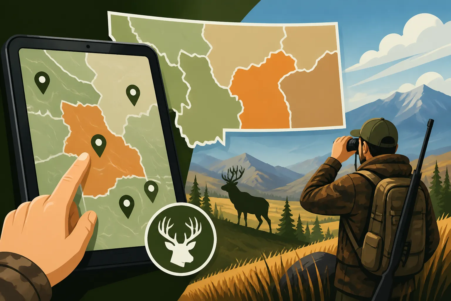
Beyond basic mapping, dedicated hunt planning platforms provide deeper insights. These often integrate draw odds, unit statistics, harvest reports, and in-depth analysis of specific hunting districts. GoHunt's Insider platform, for example, is renowned for its detailed unit profiles and filtering tools. You can search for units based on success rates, public land percentage, trophy potential, and even specific species populations. This allows you to quickly filter through the hundreds of Montana hunting districts to find ones that align with your goals, whether you're chasing a trophy bull or simply looking for a high-opportunity general season elk hunt. These platforms often aggregate data from Montana Fish, Wildlife & Parks (FWP) into an easily digestible format, saving you countless hours of digging through government websites.
Additional Online Resources and Data Overlays
Don't stop at just maps and hunt planners. A host of other online resources can supplement your e-scouting. Montana FWP's website is a treasure trove of information, offering detailed regulations, hunting district maps, season dates, and even specific statistics on game populations and harvest reports. Weather archives can help you understand historical snow depths or drought conditions that might impact animal distribution. Historical fire maps, available from various forestry and land management agencies, are also incredibly useful; new growth in burned areas often attracts elk and deer years after a fire. Additionally, websites like the National Weather Service can provide historical wind patterns and thermal inversions, which are crucial for understanding how to approach game quietly and effectively in mountainous terrain. Even Google Earth can be a free, powerful tool for general overview and identifying macro features before diving into more specialized platforms.
Unlocking Montana's Landscape: Interpreting Maps and Data
E-scouting isn't just about looking at a map; it's about reading it. Every line, every color, every contour tells a story about the land and what might be living there. Learning to interpret these digital clues is what separates a casual browser from a strategic hunter.
Deciphering Topographic Maps and Terrain Features
Topographic maps are your window into the vertical world of Montana's mountains and hills. The closer the contour lines, the steeper the terrain – an important indicator for both animal movement and hunter access. Look for subtle benches, saddles, and ridge lines; these are often natural travel corridors for game. North-facing slopes, especially those covered in dark timber, tend to hold snow longer and provide cooler bedding areas, making them prime spots for elk during warmer parts of the season or during midday. South-facing slopes, on the other hand, warm up faster and offer crucial feeding opportunities in early spring or late fall. Identifying these features helps you anticipate where game will be moving, feeding, and bedding throughout the day and across different seasons. Consider how thermals will move up and down these drainages, influencing your approach.
Identifying Key Habitat Components from Satellite Imagery
High-resolution satellite imagery offers an unparalleled view of vegetation and cover. Learn to distinguish different types of timber (dark timber, aspens, pines), open meadows, clear-cuts, and riparian zones. Dark timber provides thermal cover and security, especially for mature animals. Open meadows and clear-cuts offer forage, but often come with less cover. Riparian areas along rivers and creeks are crucial for water and often provide dense cover. Look for the "edges" where different habitat types meet – these are often high-activity zones. Identifying historical burns, especially those 3-15 years old, can be a game-changer as they often provide excellent new forage for elk and deer. Use the different map layers in your app, like the satellite view, to confirm what the topo lines are suggesting. Many apps, including those found on GoHunt, allow you to toggle between different map views to compare and contrast features.
Understanding Public, Private, and Restricted Land Access
This is perhaps one of the most critical aspects of e-scouting in Montana. Public land is often intermingled with private property, checkerboarded in confusing patterns, or landlocked. Using digital land ownership overlays is non-negotiable. Look for clearly marked national forests, BLM land, state trust lands, and Block Management Areas (BMAs). State trust lands sometimes require a state land use license, and BMAs have specific access rules that vary by area and season, often requiring sign-in or permission. Avoid "paper" roads on private property that might appear public on older maps. Always double-check boundaries, especially when approaching property lines. Remember that public land access can be incredibly challenging in Montana, and proper e-scouting helps you identify legal access points and avoid potential conflicts with landowners. Having a solid understanding of Montana Public Land Hunting Guide will save you a lot of headaches.
The Step-by-Step E-Scouting Process for Big Game in Montana
Now that we've covered the tools and how to interpret the landscape, let's walk through a structured process for e-scouting your chosen Montana hunting unit. This systematic approach will ensure you don't miss critical details.
Phase 1: Broad Unit Selection and Initial Reconnaissance
Start big. Before even looking at specific mountains, begin by researching potential hunting districts that align with your species of interest (elk, mule deer, antelope, etc.), your preferred hunting method (archery, rifle), and your fitness level. Use platforms like GoHunt's Insider to filter units based on draw odds, success rates, public land percentage, and trophy potential. Read up on the Montana Hunting Seasons Explained for the districts you're interested in. Once you have a few units in mind, perform an initial "flyover" on satellite imagery. Look for large expanses of public land, wilderness areas, significant timber blocks, and major drainages. This broad overview helps you eliminate units that might be too heavily fragmented by private land or lack the desired habitat.
Phase 2: Detailed Terrain and Habitat Analysis
This is where you zoom in and get granular. With your chosen unit, start identifying specific terrain features.
- Ridges and Saddles: These are natural travel routes. Mark them as potential ambush points.
- North-Facing Slopes with Dark Timber: Prime bedding and thermal cover, especially for elk.
- South-Facing Slopes: Often have better forage. Look for pockets of open feed next to security cover.
- Water Sources: Identify creeks, rivers, springs, and wallows. Game will always be near water.
- Canyons and Drainages: Understand their flow, how thermals will move, and potential escape routes.
- Roads and Trails: Note established access, but also look for roadless areas or those with minimal trails if you're seeking solitude and unpressured animals.
Create waypoints for these areas. Think about how a deer or elk would use this landscape throughout a day or even a season. Where would they feed, bed, water, and escape pressure? If you're planning a Montana Backcountry Hunting Guide, identifying these features is paramount for route planning and camp locations.
Phase 3: Access, Boundaries, and Pressure Points
With potential hunting spots identified, now focus on access and human impact.
- Public vs. Private Boundaries: Meticulously trace these lines. Mark them clearly on your map app. Remember the importance of How to Use Block Management for DIY Hunts in Montana, as these areas often provide critical access to otherwise private land.
- Roads and Trail Systems: Note all roads, both paved and forest service, and especially any motorized restrictions. Identify legal parking areas.
- Trailheads and Foot Access: Mark where you can physically access public land. Look for obscure trails or drainages that might offer less-pressured entry points.
- Pressure Points: Areas with high road density, numerous trailheads, or close proximity to towns will likely see more hunter pressure. If you're seeking solitude, look for areas deep within roadless sections or wilderness areas. This phase is crucial for developing a strategy to How to Beat the Crowds on Montana Public Land.
Use color-coding for your waypoints and routes: green for safe public land access, red for private land boundaries, blue for water, etc. This visual organization will be invaluable in the field.
Planning Your Hunt with E-Scouting: From Pre-Season to Execution
E-scouting isn't just a pre-season activity; it's a dynamic tool that informs every stage of your hunt, from long-range strategic planning to on-the-ground execution.
Developing Your Strategic Plan and Backup Areas
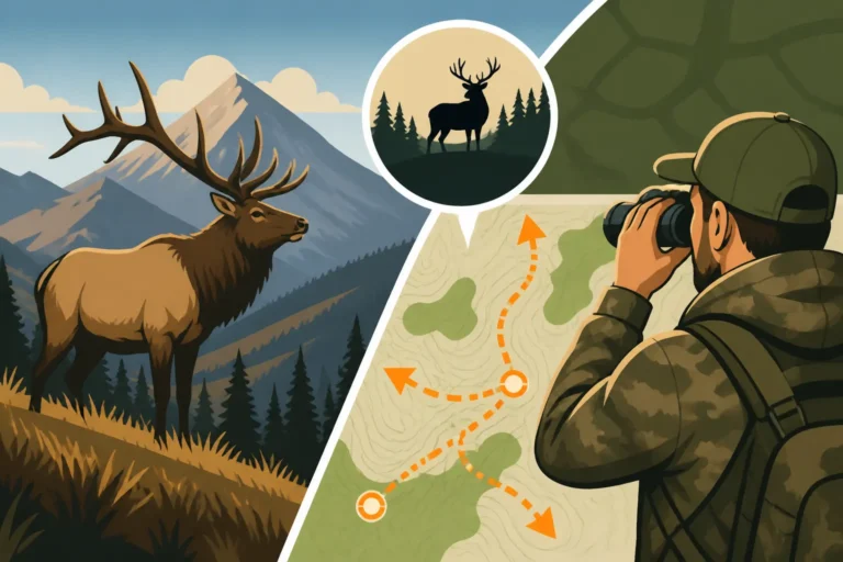
Once you've identified primary spots, don't stop there. Develop backup areas. What if your primary spot has too much pressure? What if weather patterns shift? Having two or three alternative areas within your chosen Montana Hunting Districts Explained that you've also thoroughly e-scouted can save your hunt. Create multiple ingress and egress routes for each area. Think about prevailing winds, thermals, and how you'll approach each spot. For instance, if you're planning a multi-day backpack hunt, identifying potential spike camp locations, water sources along your route, and safe extraction points are critical components of your plan. This level of foresight is essential for a successful Montana DIY Elk Hunting Guide.
Integrating E-Scouting with Weather and Seasonal Changes
Montana's weather can be notoriously unpredictable, and game behavior is heavily influenced by it. Your e-scouting needs to account for this. If an early snow hits, where will elk move for forage and thermal cover? If it's unseasonably warm, where will they seek shade and water? Use historical weather data during your e-scouting phase to anticipate these shifts. For example, during a hot early archery season, focusing on north-facing slopes with dense timber and proximity to water sources will be more productive. In late season, south-facing slopes exposed to sunlight might hold deer and elk seeking warmth. Continuously monitor weather forecasts as your hunt approaches and be prepared to adapt your plan using the alternative spots you identified during e-scouting. This helps you to better understand How Weather Moves Montana Elk.
Creating Detailed In-Field Navigation and Contingency Plans
The final step in successful e-scouting is to transfer your digital knowledge into a usable in-field strategy. Download all your maps, waypoints, and planned routes to your phone or GPS device for offline access. Battery life can be an issue in the backcountry, so consider a portable charger. Print paper maps as a backup, marking your key waypoints. Discuss your plans with hunting partners, ensuring everyone understands the primary and backup routes, as well as safety protocols.
- Primary Routes: Plan your approach to specific hunting areas, considering wind, thermals, and ease of travel.
- Escape Routes: Always have a plan for how you'll get out if weather turns, you get lost, or if you need to pack out an animal.
- Rendezvous Points: Establish clear meeting spots if your group separates.
- Emergency Contact: Share your planned routes and expected return times with a reliable contact outside your hunting party.
This meticulous planning not only increases your chances of success but significantly enhances safety, especially when hunting in remote Montana wilderness.
Here's a quick reference for common map layers and their uses:
| Map Layer Type | Primary Use | Key Features to Look For | Hunting Relevance |
|---|---|---|---|
| Topographic | Terrain elevation, steepness, contours | Contour lines, ridges, saddles, drainages, benches | Identifies travel corridors, bedding areas, ambush points, physical difficulty. |
| Satellite | Vegetation type, ground cover, actual landscape | Dark timber, open meadows, clear-cuts, water bodies, burn scars | Pinpoints security cover, feeding areas, water sources, natural game magnets. |
| Land Ownership | Public/Private boundaries, legal access | National Forest, BLM, State Trust, Private land lines, BMAs | Ensures legal access, avoids trespassing, identifies public land fragments. |
| Roads/Trails | Access points, vehicle restrictions | Forest Service roads, ATV trails, hiking trails, road closures | Determines how far you can drive, where to park, and potential hunter pressure. |
| Wilderness Areas | Restricted access zones | Marked boundaries for designated wilderness | Indicates areas for foot/horse travel only, potentially less pressured game. |
| Burn History | Areas affected by wildfires | Years of burns, intensity levels | Reveals new growth, forage opportunities (3-15 years post-fire often best). |
Advanced E-Scouting Tips and Common Pitfalls to Avoid
E-scouting can be incredibly powerful, but like any skill, there are nuances to master and mistakes to learn from. Moving beyond the basics will give you an even sharper edge.
Utilizing Historical Data and Specific Overlays
Many advanced e-scouting platforms, including those on GoHunt, offer the ability to overlay historical data. This might include past hunter harvest success rates for specific units, draw odds for permits, or even historical aerial imagery from different seasons. Looking at aerial photos from different times of the year can reveal seasonal habitat changes, like deciduous trees shedding leaves, which impact cover, or areas that hold snow versus those that clear quickly. Understanding Montana Elk Draw Odds by District or Montana Mule Deer Draw Odds Explained can heavily influence your unit selection. Some platforms even allow you to track past game migrations or common bedding areas identified by other hunters (though this data should be taken with a grain of salt, as specific spots can change year to year). Don't just look at the current picture; delve into the history of a unit.
Considering Game Behavior and Seasonal Movements
E-scouting is not just about static maps; it's about dynamic animal behavior. For instance, Montana Elk Migration Patterns can dramatically change where you find animals from early archery season to the late general rifle season. In early archery, elk might be higher in the mountains, seeking cooler temperatures and good forage. As rifle season and colder weather set in, they may move to lower elevations, following snow lines and seeking thermal cover in darker timber pockets. Mule deer often follow similar patterns, moving from summer ranges to wintering grounds. When you're e-scouting, visualize how these movements will occur within the terrain you're studying. Identify potential migration corridors, pinch points, and winter range areas. This kind of thought process is essential when learning How to Pattern Montana Elk Movement effectively.
Common E-Scouting Mistakes to Avoid
Even with the best tools, it's easy to fall into common traps:
- "Armchair Hunting" Syndrome: Don't get so caught up in e-scouting that you think you know everything. The ground always looks different in person. E-scouting is a starting point, not the end-all-be-all.
- Ignoring Topography: Just looking at satellite views isn't enough. You must understand the 3D aspect of the terrain using topographic maps to truly grasp how animals will move and where you can effectively hunt.
- Underestimating Private Land: Assume private land is inaccessible unless explicitly stated otherwise (like a BMA). Don't guess; verify boundaries meticulously. Trespassing is a serious offense.
- Over-reliance on "Hot Spots": Don't just look for one perfect spot. Wildlife moves, and pressure changes. Always have backup plans and be prepared to adapt.
- Neglecting Regulations: Always, always cross-reference your e-scouting with current Montana FWP regulations for your specific hunting district. Seasons, weapon restrictions, and tag requirements can vary significantly. Understanding the difference between Montana General vs Permit Tags Explained is critical.
- Not Accounting for Weather: A perfect e-scouting plan can unravel quickly with unexpected weather. Think about rain, snow, heat, and wind and how it impacts game behavior and your own comfort and safety.
By diligently practicing these techniques and avoiding common pitfalls, you'll be well on your way to effectively e-scouting Montana hunting units and significantly increasing your chances of a successful and rewarding hunt in Big Sky Country.
Disclaimer
Please remember that hunting regulations, seasons, and land access rules in Montana can change frequently. Always consult the most current Montana Fish, Wildlife & Parks (FWP) regulations and official land management maps before planning or undertaking any hunting activity. This guide is for informational purposes only and should not replace official sources or in-person reconnaissance. Responsible and ethical hunting practices are paramount.