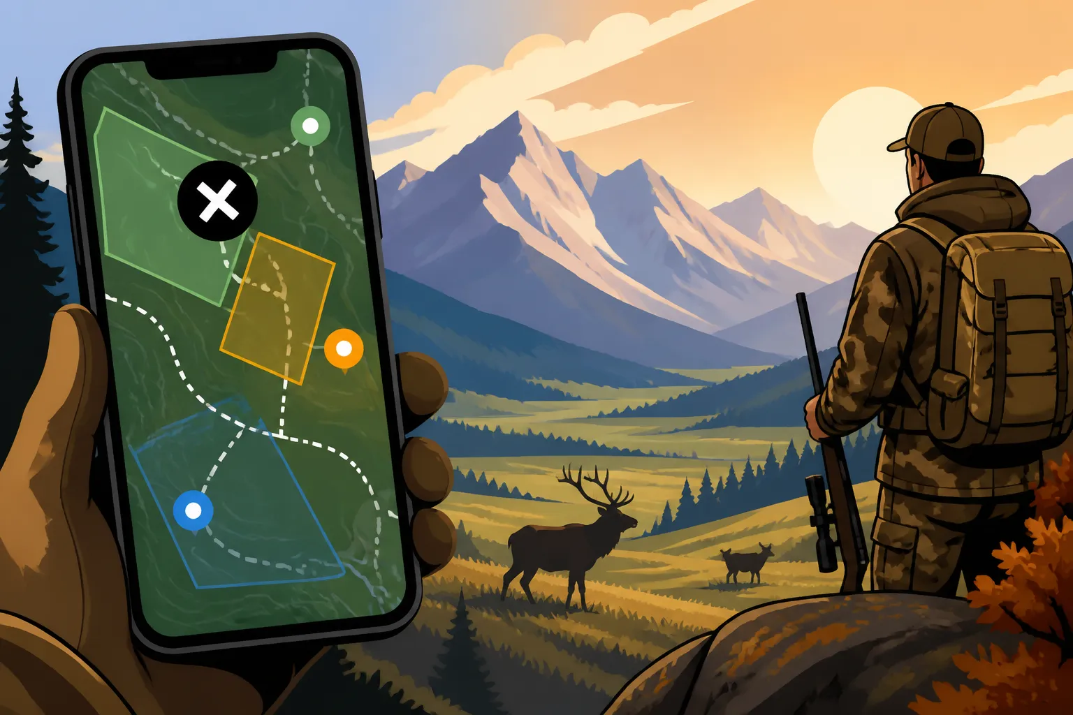
How to Use onX for Montana Hunting
Hunting in Montana, especially for big game, can feel like navigating a maze blindfolded. You've got vast public lands, checkerboarded private parcels, a myriad of regulations, and terrain that ranges from sagebrush plains to unforgiving mountains. It’s enough to make even a seasoned hunter's head spin trying to figure out where you can legally step foot, let alone find game. This guide will walk you through exactly how to harness the power of onX Hunt to demystify Montana's diverse hunting landscape, giving you the confidence to scout smarter and hunt more effectively.
Understanding the Core Power of onX Hunt in Montana
Let's be real, the sheer scale of Montana is daunting. Whether you're chasing elk in the high country or antelope on the plains, the first hurdle is always knowing where you are and whose land you're on. This is where onX Hunt truly shines, acting as your digital compass and property line expert.
Navigating Public and Private Land Boundaries
The most frustrating thing for any hunter in Montana has to be that constant, nagging doubt about whether you're legally on public land. Montana is notorious for its complex land ownership patterns, particularly in areas where public and private parcels are intermingled like a checkerboard. Imagine driving hours into a prime area only to discover you've been inadvertently walking on private property, or worse, setting up your stand in a no-trespassing zone. It's not just a buzzkill; it can lead to legal trouble, fines, and a ruined hunt.
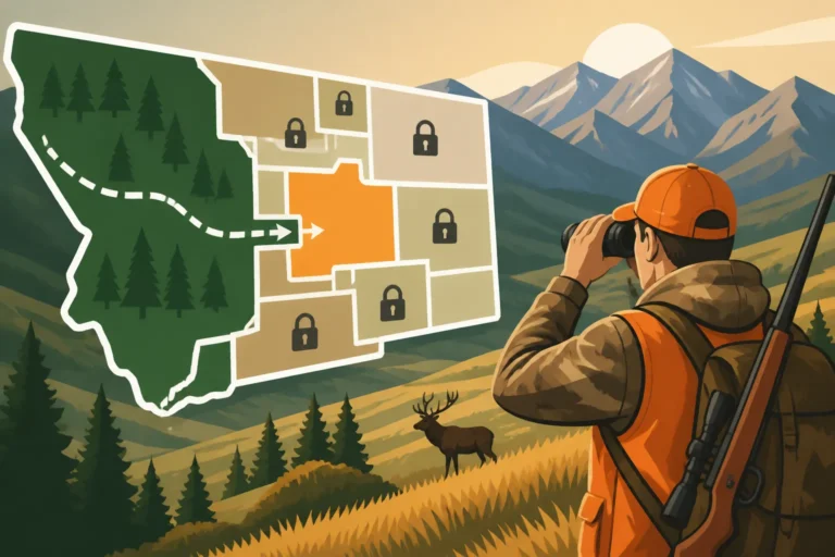
onX Hunt takes this anxiety away. Its most celebrated feature is its crystal-clear display of public and private land boundaries, right down to the parcel owner information in many cases. When you open the app, you immediately see color-coded maps: usually green for National Forests, yellow for Bureau of Land Management (BLM) lands, and various shades for state lands and private parcels. This isn't just a pretty picture; it's a dynamic, GPS-enabled overlay that shows your exact position relative to these boundaries. You can zoom in and see the exact property lines, often with the landowner's name, which is invaluable for seeking permission or simply ensuring you stay on the right side of the law. This function is particularly useful when exploring Block Management Areas (BMAs) in Montana, as it helps you identify the specific public access points and walk-in areas designated by the Montana Fish, Wildlife & Parks (FWP) program on private lands. This can literally save your hunt, preventing you from wasting precious time or, worse, running into an irate landowner.
Detailed Topography and Satellite Imagery
Beyond just property lines, understanding the terrain is paramount to success in Montana's varied landscapes. Ever found yourself staring at a ridge, wondering if it's a gentle slope or a cliff face, or if that dark timber patch holds a hidden spring? These unknowns can lead to wasted energy, missed opportunities, or even dangerous situations.
onX Hunt provides incredibly detailed topographic maps, complete with contour lines that reveal every subtle rise and fall of the landscape. You can instantly discern steep canyons, gentle draws, flat benches, and prominent ridges. Combined with the high-resolution satellite imagery, you can identify critical features that game depend on: dark timber for bedding, south-facing slopes for winter feeding, open parks for grazing, and water sources. For instance, when you're planning a trip into areas like the Bob Marshall Wilderness, using these layers to pinpoint likely travel corridors or natural funnels between bedding and feeding areas is incredibly powerful. You can practically e-scout an entire mountain range from your living room, searching for the perfect saddle for an ambush or a hidden basin where elk might be holed up. This visual information allows you to form a comprehensive strategy for your hunt, long before your boots hit the ground, and adapt quickly when you are in the field.
Strategic Planning and E-Scouting with onX
E-scouting has revolutionized how many of us approach hunting, and in a state as immense and diverse as Montana, it's not just a luxury, it's a necessity. The ability to "walk" the terrain from your couch or office can save you countless hours and gallons of gas, allowing you to narrow down promising areas long before the season opens.
Identifying Key Habitat and Game Movement Patterns
Finding animals isn't just about stumbling upon them; it's about understanding their world. Hunters often struggle to pinpoint reliable food sources, safe bedding areas, or critical migration routes, especially in unfamiliar territory. This uncertainty leads to a lot of wandering and hoping, which isn't a strategy for consistent success.
onX Hunt offers a suite of layers that are specifically designed to help you decode game habitat. You can overlay timber cuts, agricultural fields, water features, and even historic fire burn boundaries. For example, identifying recent clearcuts or old burns can point you to areas with abundant new browse that attracts deer and elk. Locating hidden springs, seeps, or stock ponds, particularly in arid eastern Montana, becomes crucial for targeting antelope. You can trace potential game trails along timber edges, across saddles, or through riparian zones. By analyzing satellite imagery for different seasons, you can even get a sense of how vegetation changes, helping you predict where animals might move throughout the year. For instance, understanding how to read these patterns is a core component of effective Montana Elk Hunting Methods Explained, often revealing optimal areas for glassing or still-hunting. This allows you to build a comprehensive picture of potential game movement, turning guesswork into educated predictions.
Waypoints, Tracks, and Custom Map Tools
Once you've identified promising areas during your e-scouting, or even while you're actually hunting, how do you mark them, share them, or plan your movements precisely? Without robust tools, you're left scribbling on paper maps or trying to remember vague landmarks, which is practically useless in the vastness of Montana.
The waypoint feature in onX is your best friend. You can drop a pin on anything important: a potential camp spot, a hidden water source, a vantage point for glassing, a rub line, a shed antler, or the exact location where you last saw a big bull elk. You can customize these waypoints with notes, photos, and different icons, creating a rich digital journal of your scouting and hunting experiences. The tracking feature is invaluable; it records your exact path, showing you exactly where you've been. This is fantastic for retracing your steps in unfamiliar terrain, ensuring you cover an area thoroughly, or even for finding your way back to camp in the dark. Moreover, the custom line and area tools allow you to draw specific routes for a morning stalk, mark off-limits areas, or highlight a potential bedding basin. Sharing these custom maps and waypoints with your hunting partners ensures everyone is literally on the same page, improving coordination and safety. This is particularly useful for those planning a Montana DIY Elk Hunting Guide experience, where coordination and precise navigation are key.
Utilizing Government Land Layers
Montana boasts an incredible amount of public land, from sprawling National Forests to accessible State Trust Lands. However, just seeing "public land" on a general map isn't enough; you need to understand what kind of public land it is and what rules apply. The frustration often comes from not knowing specific access rules or agency regulations for different public land types.
onX Hunt meticulously delineates different government land types. You'll clearly see the boundaries for National Forest lands, which often offer vast, rugged backcountry hunting opportunities. Then there are Bureau of Land Management (BLM) lands, typically more accessible and often found in eastern Montana, offering excellent deer and antelope hunting. State Trust Lands are also highlighted, but remember that these often have specific administrative rules, sometimes requiring a State Land Recreational Use License in addition to your hunting license. The app also shows Montana FWP lands, which are often managed for wildlife and provide excellent public access. By understanding these distinctions, you can tailor your approach. For example, hunting on Montana National Forest Hunting Guide lands might involve more rigorous physical demands, while BLM land could be better suited for truck-based scouting. onX's layers allow you to filter and focus on specific public land types, helping you to truly maximize your access and adhere to the varying regulations on federal, state, and local public lands.
On-the-Ground Execution and Safety
All the planning in the world doesn't mean much if your tools fail you when it counts, or if you can't stay safe in Montana's unpredictable environment. The challenges of remote areas, changing weather, and navigating without cell service are very real, and onX addresses these head-on.
Offline Maps and GPS Functionality
One of the biggest anxieties for any hunter venturing into the vastness of Montana is losing cell service. You've spent hours e-scouting, marked all your spots, and then you're deep in the backcountry, only to find your phone is just a brick because there's no signal. This fear of being lost or unable to navigate is a legitimate concern.
This is where the offline maps feature of onX Hunt becomes an absolute lifesaver. Before you head out, you can download detailed maps of your hunting area directly to your device. Once downloaded, these maps function perfectly even without a cell signal or Wi-Fi, using your phone's built-in GPS capabilities to pinpoint your exact location in real-time. Imagine traversing a dense timber patch in the Lolo National Forest during a snowstorm, and still seeing your blue dot moving precisely on the map, showing you exactly where you are relative to your vehicle, your camp, or that critical saddle you wanted to check. You can mark new waypoints, track your movements, and navigate confidently, all without a single bar of service. Always remember to charge your phone fully and consider carrying a portable power bank, as GPS usage can drain batteries quicker than usual. This functionality is absolutely critical for anyone diving into a Montana Backcountry Hunting Guide adventure, where cell service is often non-existent for miles.
Hunter Safety and Emergency Features
Beyond navigation, hunter safety is paramount, especially when hunting solo or in very remote areas. The worry of an injury, getting disoriented, or simply needing to share your location with someone else for peace of mind is always present.
onX offers features that contribute significantly to hunter safety. The "Tracker" function, as mentioned, records your path, which is incredibly useful if you get turned around due to heavy fog, snow, or simply disoriented in dense timber. You can follow your breadcrumb trail right back to your starting point. More critically, the "Share" feature allows you to send your real-time location to trusted contacts, even if they don't have onX. This means your spouse, a family member, or a fellow hunter can see exactly where you are, providing peace of mind and a critical safety net in case of an emergency. If you're ever in a situation where you need to relay your coordinates to emergency services, onX displays your precise latitude and longitude, which can be invaluable for pinpointing your location in a timely manner. While it's not a substitute for a satellite communicator in truly remote areas, it's a powerful tool for localized safety and communication within cellular range or when you have external communication devices.
Advanced Tips and Integrating Other Tools
While onX Hunt is an incredibly powerful standalone tool, its true potential is unlocked when you integrate it with other resources and adopt some advanced strategies. Thinking outside the box can give you an edge in Montana's competitive hunting environment.
Leveraging Hunt Units and Regulations
Understanding Montana's complex hunting regulations, particularly how they apply to specific hunting districts (HUs), can be a real headache. Hunters often find themselves confused by hunt codes, permit areas, and general season boundaries, leading to mistakes in applications or hunting in the wrong place.
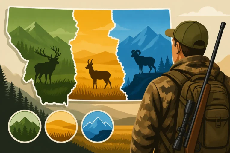
onX Hunt simplifies this by displaying official FWP hunting district boundaries directly on your map. This visual representation is invaluable, especially when you're looking at a specific unit for which you drew a permit or when determining if an area falls within a general season. You can easily see the borders of districts like 380, 410, or 622, making sure you stay compliant with the specific regulations for that area. Furthermore, onX often links directly to the current year's FWP hunting regulations, allowing you to quickly cross-reference rules, season dates, and specific harvest restrictions for the unit you're in or planning to hunt. This direct integration streamlines the process of ensuring you're legal and prepared, helping you understand crucial concepts like Montana General vs Permit Tags Explained, which can be complex for newcomers.
Combining onX with other Scouting Resources
While onX is a fantastic mapping tool, it's one piece of a larger puzzle. Smart hunters know that integrating data from multiple sources leads to the most robust strategy. The frustration comes when hunters rely on just one source, missing critical information that could make or break a hunt.
To truly master your Montana hunt, consider how onX complements other powerful tools. For example, when you're thinking about applying for a limited-entry permit, resources like GoHunt provide invaluable data on draw odds and historical harvest success rates for specific districts. You can use their insights to decide which districts to apply for, and then use onX to e-scout those districts, identifying potential high-success areas. Similarly, FWP's own online hunt planner maps offer additional layers, such as historical fire data or specific land management project areas that might not be as prominent on onX. Don't forget the power of good old-fashioned physical maps for a broader overview and as a fail-safe. Using onX to mark potential areas, then cross-referencing with other platforms for animal populations, migration data, or weather patterns, allows you to build a multi-dimensional strategy. It's about building a complete picture, from the macro-level view of statewide trends down to the micro-level detail of a specific elk bedding area. For example, combining onX with aerial imagery and topographic maps is key to understanding how to E-Scout Montana Hunting Units effectively, especially for species like deer where habitat features are critical.
Key onX Features for Montana Hunting
To help you visualize how these features come together, here's a table summarizing the critical aspects of onX Hunt and their direct benefits for hunting in Big Sky Country.
| onX Hunt Feature | Description | Montana Hunting Benefit |
|---|---|---|
| Public/Private Land Layers | Color-coded boundaries for land ownership (BLM, Forest Service, State, Private). | Crucial for avoiding trespass; identifying legal access points, including Block Management Areas; navigating checkerboard ownership. |
| Satellite & Topo Maps | High-resolution aerial imagery and detailed contour lines. | E-scouting terrain features (ridges, saddles, drainages, timber); identifying habitat (burns, clearcuts, water sources); planning stalk routes. |
| GPS Tracking & Waypoints | Real-time location display; ability to mark custom points with notes/photos. | Never get lost; mark camp, vehicle, game sightings, rubs, water sources; retrace steps; share exact locations with hunting partners for coordination. |
| Offline Maps | Download maps for use without cell service. | Essential for remote Montana backcountry where cell signal is scarce; ensures navigation and safety in wilderness areas like the Beaverhead-Deerlodge National Forest. |
| Hunt Unit Boundaries | Overlays official FWP hunting district lines. | Ensures compliance with regulations for specific units; critical for permit applications and understanding general season areas. |
| Custom Layers & Tools | Ability to draw lines, areas, and measure distances. | Plan specific routes for stalks; measure distance to game; delineate potential bedding or feeding zones. |
Disclaimer
Please remember that hunting regulations, license requirements, and land access rules in Montana can change. Always consult the official Montana Fish, Wildlife & Parks (FWP) regulations for the current season before planning or undertaking any hunt. While onX Hunt is an incredibly valuable tool, it is your responsibility to understand and comply with all applicable laws.