How to Scout a Montana Hunting District
It’s a feeling many of us know all too well: the excitement of drawing that coveted Montana tag, quickly followed by the overwhelming question, "Now what?" You've got your hunting district, but the sheer vastness and complexity of Montana's terrain can leave you staring blankly at a map, wondering where to even begin. This guide is here to cut through that confusion, walking you through a systematic approach to scouting your chosen Montana hunting district, turning uncertainty into a well-planned pursuit.
The Imperative of Scouting a Montana Hunting District
Let's be honest, showing up to a new hunting district on opening day with nothing but a general idea of the terrain is a recipe for frustration. Montana's diverse landscapes, from dense timber to vast open prairies and rugged mountains, demand more than a casual glance at a topo map. Effective scouting isn't just about finding animals; it's about understanding the land, predicting animal movement, and crafting a strategy that gives you the best chance of success.
Why Pre-Season Knowledge is Power
Many hunters, especially those new to a specific area or coming from out of state, often make the mistake of relying solely on last-minute research or outdated information. They might pick a district based on draw odds or stories from a friend, only to arrive and feel completely lost, spending precious hunting days just trying to orient themselves. This lack of pre-season intelligence can be a significant setback, leading to wasted time, unnecessary physical exertion, and ultimately, a lower success rate.
True pre-season knowledge empowers you to hit the ground running. It means knowing where the likely bedding areas are, identifying key water sources, understanding potential travel corridors between feed and cover, and having a realistic grasp of the access points and potential hunter pressure. When you understand these elements before you ever step foot in the field with your weapon, you transform a hopeful gamble into a calculated pursuit. This foundation of knowledge allows you to react intelligently to changing conditions and animal behavior, rather than simply wandering aimlessly.
Common Scouting Pitfalls to Avoid
Even with the best intentions, hunters can fall into several common scouting traps. One of the most prevalent is not starting early enough. Scouting isn't a one-and-done activity; it's an ongoing process that often begins months before the season. Waiting until a few weeks before opening day leaves you scrambling and doesn't allow for thorough reconnaissance or adaptation.
Another pitfall is relying solely on one method, such as only e-scouting without any boots-on-the-ground verification, or vice-versa. While digital tools are incredibly powerful, they can't tell you about the fallen timber blocking a game trail, the subtle thermal shifts, or the exact freshness of a rub line. Similarly, aimlessly hiking without a digital plan can be inefficient and lead to overlooking prime areas. Furthermore, many hunters focus exclusively on where to find the "big one" rather than understanding the entire ecosystem of the district – including escape routes, alternative feed, and how animals might react to pressure. A holistic approach is essential.
Mastering the Art of E-Scouting from Afar
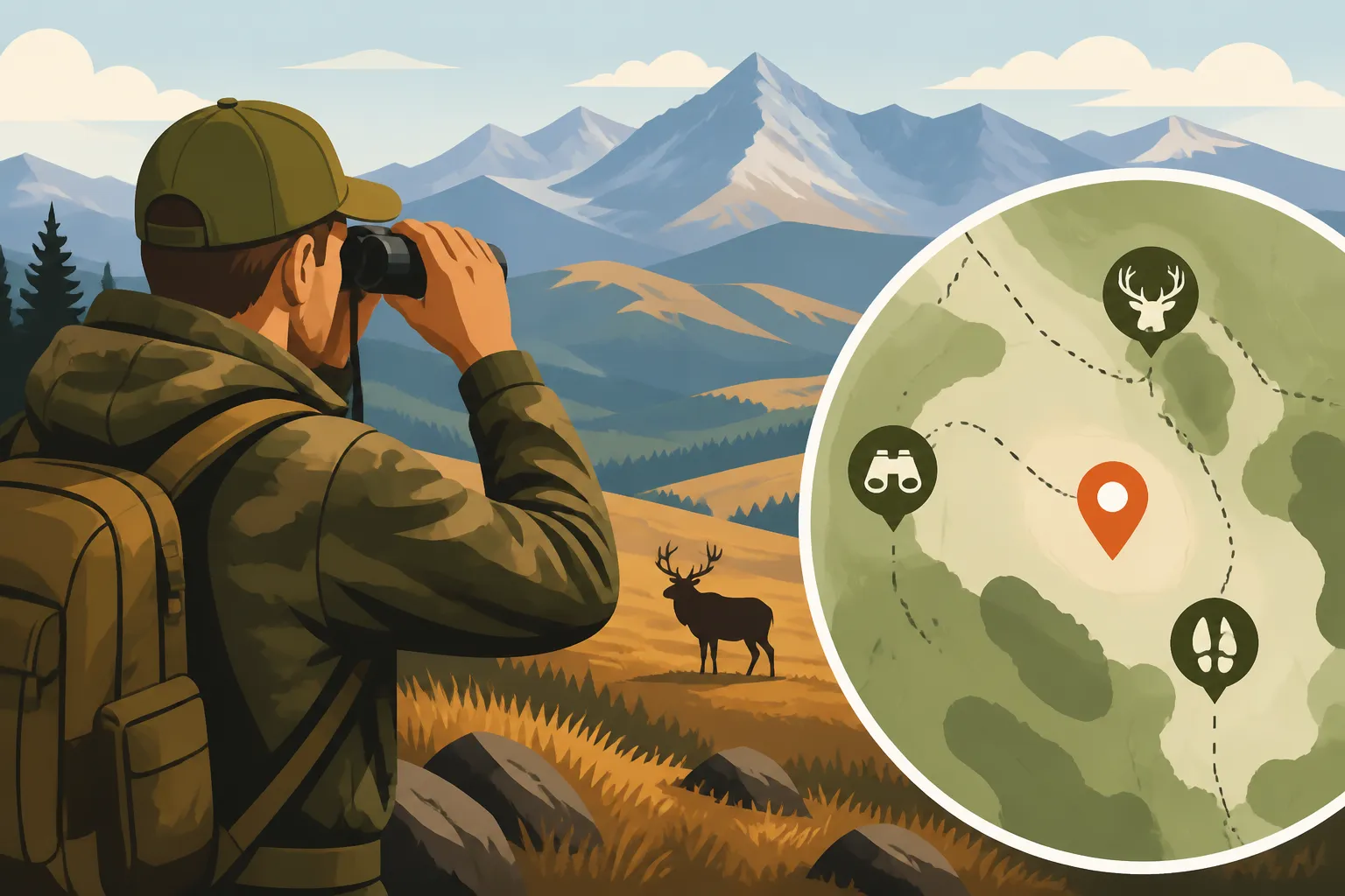
Before you ever lace up your boots, your most valuable scouting tool is right at your fingertips: your computer or tablet. E-scouting, or electronic scouting, allows you to virtually explore vast tracts of land, identify key features, and develop an initial game plan from the comfort of your home. This digital reconnaissance is the indispensable first step in understanding any Montana hunting district.
Essential Digital Tools and Resources
When it comes to e-scouting, a few key platforms stand out as absolutely critical for Montana hunters. High-resolution satellite imagery is your bread and butter, with tools like Google Earth and onX Hunt being prime examples. These allow you to zoom in and visualize terrain, vegetation, and potential travel routes. onX Hunt, in particular, layers property boundaries over topographic maps and satellite images, making it indispensable for understanding public versus private land access and avoiding trespassing. Knowing how to use onX for Montana hunting effectively can save you a world of trouble and open up new opportunities.
Beyond maps, the Montana Fish, Wildlife & Parks (FWP) website is a treasure trove of information. Their hunt planner maps, regulations, and harvest statistics for specific hunting districts can provide invaluable context. For those seeking deeper insights into draw odds and unit breakdowns, platforms like GoHunt offer detailed data analytics, helping you understand success rates and population trends that might influence your choice of district or strategy. These resources, when combined, paint a comprehensive picture before you ever set foot in the field.
Identifying Key Terrain Features and Potential Hotspots
The true skill in e-scouting lies in learning to "read" the land through your screen. You’re not just looking at pretty pictures; you’re looking for patterns, anomalies, and features that scream "elk" or "deer." Start by identifying significant changes in elevation, which often create natural travel corridors or bedding areas. North-facing slopes, for instance, are critical to look for, as they typically hold more moisture and provide cooler, denser thermal cover, especially important for animals seeking refuge from warmer temperatures or hunter pressure. Understanding how to find elk in Montana dark timber often begins with identifying these shady, steep areas on your map.
Look for saddles, benches, and distinct drainages that funnel animal movement. Water sources, whether streams, springs, or ponds, are obviously crucial. Beyond the obvious, try to pinpoint "hidey-holes"—small, overlooked pockets of cover adjacent to larger open areas or roads where animals might seek refuge. Pay close attention to vegetation changes; a sudden shift from open sagebrush to dense conifer forest could indicate a transition zone where animals feed and bed. You can even use elevation data to anticipate how to use thermals in Montana elk country, as cool air sinks in the mornings and warm air rises in the evenings, influencing animal movement.
Understanding Access and Public vs. Private Land
Navigating land ownership in Montana is paramount. It’s not enough to simply know a district is "mostly public." You need to understand where the public land is, how to access it legally, and where private lands might create barriers or opportunities. This is where onX Hunt truly shines, providing crystal-clear land ownership layers. You can identify state lands, BLM lands, National Forest, and private holdings at a glance.
Beyond the black-and-white lines, investigate access roads and trails. Are they open during hunting season? Are there gates? Are certain areas landlocked by private property, requiring special permission or a long walk to access? Also, don't overlook programs like Montana Block Management Areas, which provide public access to private lands for hunting. Learning how Montana Block Management Areas are explained and utilizing their resources can unlock fantastic hunting opportunities. By mapping out all potential access points, whether roads, trails, or even through a river, you can plan your entry and exit strategies long before you arrive. This detailed understanding of the Montana Public Land Hunting Guide is essential for a stress-free and legal hunt.
| E-Scouting Tool | Primary Function | Key Benefit for Montana Hunters | Best Use Case | Cost |
|---|---|---|---|---|
| onX Hunt | Detailed property lines, topo, satellite maps | Clearly identifies public/private land, roads, and trails. | Navigating land ownership, planning routes, field use. | Subscription |
| Google Earth Pro | High-resolution satellite imagery, 3D terrain | In-depth visual reconnaissance, historical imagery. | Identifying subtle terrain features, vegetation patterns. | Free |
| Montana FWP Website | Regulations, harvest reports, hunt planner maps | Official season dates, district rules, success statistics. | Understanding legal requirements, researching district performance. | Free |
| GoHunt Insider | Draw odds, unit data, harvest analysis, strategy | Deep statistical insights, personalized draw recommendations. | Pre-season research, strategizing tag applications. | Subscription |
| Basemap | Mapping platform with various layers | Similar to onX, offers public land, topo, and satellite layers. | Alternative mapping tool, potentially different feature sets. | Free (basic), Subscription (pro) |
The Boots-on-the-Ground Reconnaissance
E-scouting is undeniably powerful, but it's only half the equation. To truly understand a Montana hunting district, you need to get your boots dirty and experience the terrain firsthand. This "ground truthing" verifies your digital findings, reveals details a satellite can't capture, and allows you to find fresh sign that indicates current animal presence and movement.
Timing Your Field Scouting Trips
The ideal time for boots-on-the-ground scouting can vary depending on what you're targeting and the species you're hunting, but generally, early spring (after snowmelt) and late summer/early fall (a few weeks or a month before the season) are prime. In spring, you can often find sheds, which directly tells you which areas were frequented by animals during the winter. With less vegetation, rub lines from the previous year, game trails, and water sources are often easier to see and evaluate. This is also a great time to evaluate travel routes without disturbing animals.
Late summer/early fall scouting, however, provides the most relevant and current information. A few weeks before the season, you can look for fresh rubs, recent droppings, and active wallows, which give you a real-time snapshot of where animals are frequenting. If you're planning an archery hunt, getting out in late August or early September to listen for bugles can be incredibly effective for learning how to bugle-locate a Montana bull elk. The key is to avoid heavily disturbing the area too close to opening day, which could push animals out of their natural patterns. Remember, you're observing, not hunting.
What to Look For
Once you're actually in the district, your eyes should be peeled for a myriad of clues. Tracks and droppings are obvious indicators of animal presence, but pay attention to their freshness. Newer, softer tracks or moist droppings indicate recent activity. Look for rubs on trees, especially fresh ones with sap still oozing, which can tell you bucks or bulls are actively working the area. Wallows, particularly active ones, are critical for elk and can indicate a preferred bedding or congregating area, so knowing how to hunt elk wallows in Montana is a valuable skill.
Follow game trails, noting their intensity (heavily used trails versus faint ones), and see where they lead. Do they connect bedding areas to feeding grounds? Do they offer an escape route into thick timber? Identify natural funnels created by terrain or vegetation, as these are prime ambush points. Pay close attention to the specific types of forage animals are browsing or grazing on; this can change throughout the season. Lastly, scout for potential glassing points and access routes. How effectively you can glass Montana's big country will directly impact your ability to locate animals without disturbing them.
Integrating E-Scouting with Field Scouting
The magic truly happens when you seamlessly integrate your digital reconnaissance with your physical exploration. Your e-scouting efforts provide the framework, directing you to promising areas on the ground. When you're in the field, use your onX Hunt app or other GPS device to verify the details you saw on your computer screen. Is that "dark timber" patch as dense as it looked? Is that steep ridge really an impassable barrier, or is there a subtle game trail running through it?
You’ll find that some areas that looked fantastic on a map might be less ideal in person, perhaps due to heavy recreational use or unexpectedly sparse vegetation. Conversely, you'll discover hidden gems—small benches, overlooked water holes, or subtle saddles—that simply didn't stand out digitally. Use your GPS to mark these new findings, creating waypoints for potential stand locations, glassing knobs, bedding areas, or even just notable game sign. This iterative process of refining your map with real-world observations is how you truly learn how to scout a Montana hunting district thoroughly and develop an intimate understanding of the landscape.
Crafting Your Hunting Strategy Based on Scouting
Scouting isn't just about finding spots; it's about building a comprehensive battle plan for your hunt. All the information you've gathered, both digitally and on the ground, must coalesce into a flexible, intelligent strategy that maximizes your chances of success. This strategy needs to consider animal behavior, potential hunter pressure, and the dynamic nature of Montana's weather and terrain.
Developing a Game Plan for Opening Day
With all your scouting intel in hand, it's time to build a robust game plan for opening day and beyond. This isn't just one plan; it's an "A" plan, a "B" plan, and ideally, a "C" plan. Your "A" plan should target your absolute prime areas identified through scouting, considering prevailing winds, thermals, and expected animal movement during that specific time of year. For example, if you've identified a key north-facing slope with heavy timber and fresh sign, your "A" plan might involve a silent, pre-dawn hike to a vantage point that overlooks a feeding area nearby, followed by a slow still-hunt through the timber as thermals rise.
Your "B" plan should target alternative locations, perhaps areas that showed slightly less sign but still hold potential, or spots that might be more suitable if your primary area is unexpectedly occupied by other hunters. Your "C" plan should consider completely different tactics or zones, perhaps a far-off backcountry basin or a specific water source you identified. For those planning a do-it-yourself hunt, this detailed planning is critical for executing a successful Montana DIY elk hunting guide approach. Remember, the goal is to have multiple viable options, allowing you to adapt rather than abandon your hunt if the initial plan doesn't pan out.
Adapting to Changing Conditions
No matter how meticulously you scout and plan, Montana's wild character means things will change. Weather can shift dramatically, from warm, dry conditions to sudden snowstorms. Hunter pressure can be intense, especially on easily accessible public lands during general rifle season. Animals themselves can unpredictably alter their patterns due to moon phase, new food sources, or perceived threats. This is where your deep scouting knowledge truly pays dividends.
If a cold front pushes in, for example, your scouting insights on how to hunt a cold-front elk push in Montana will guide you to areas where elk might migrate for shelter or seek different forage. If you encounter unexpected hunter pressure, your prior knowledge of alternative, less-traveled routes and more remote bedding areas can help you beat the crowds on Montana public land. Having multiple points of access, various glassing locations, and several potential bedding or feeding zones mapped out allows you to pivot your strategy quickly and efficiently. You can analyze the new conditions, consult your detailed maps and waypoints, and make an informed decision on where to move next, rather than being forced to react with limited information. This adaptability, born from thorough scouting, is the hallmark of a successful Montana hunter.
Disclaimer
The information provided in this guide is for general informational purposes only. Hunting regulations, seasons, and land access rules in Montana are subject to change by Montana Fish, Wildlife & Parks (FWP). Always consult the most current official FWP regulations and land ownership maps before planning or undertaking any hunting activity. Safety in the field is paramount; always hunt responsibly and be aware of your surroundings.