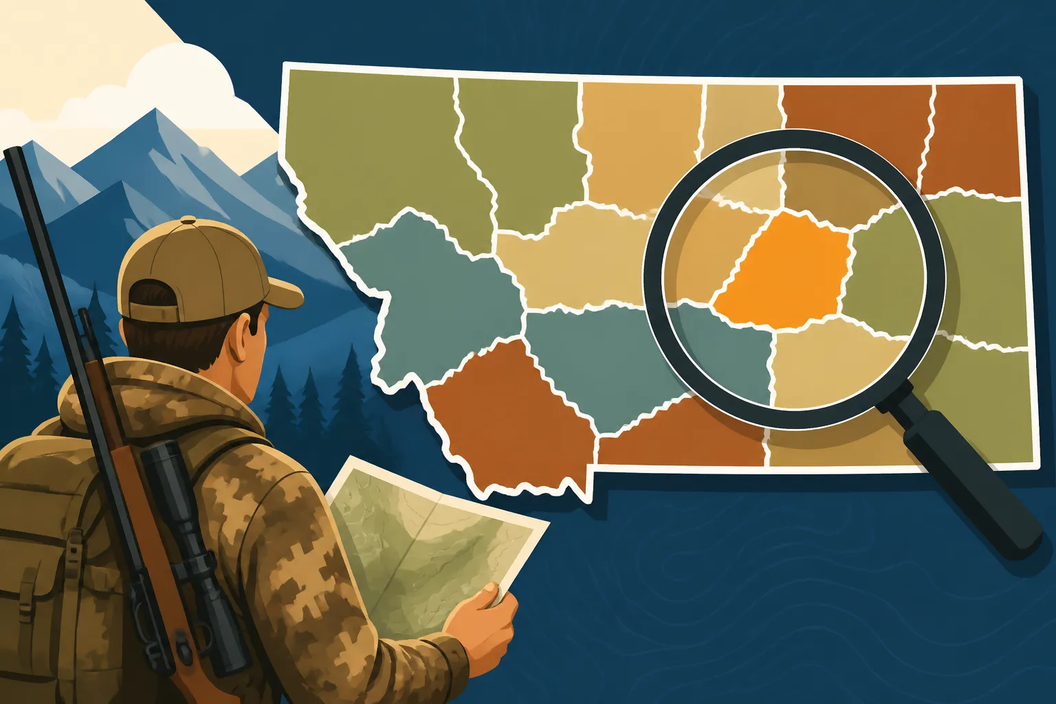
How to Read Montana District Boundaries
Navigating Montana's vast hunting landscape can feel like trying to solve a complex puzzle, especially when it comes to understanding hunting district boundaries. It’s a common frustration for both seasoned locals and excited nonresidents alike: one minute you think you’re in the clear, the next you’re second-guessing if that dirt road or small creek actually marks the line between open general season and a permit-only area. This guide is here to untangle that confusion, walking you through exactly how to read and interpret Montana's hunting district boundaries so you can hunt with confidence and stay on the right side of the regulations.
Understanding the Foundation of Montana Hunting Districts
Before you can even begin to read a map or use a fancy app, it’s crucial to understand why Montana has hunting districts (HDs) in the first place and how they generally function. They're not just arbitrary lines on a map; they're the backbone of wildlife management and hunting opportunity across the state.
The Purpose of Hunting Districts
Hunting districts are essentially management units created by Montana Fish, Wildlife & Parks (FWP) to regulate hunting pressure, manage wildlife populations, and distribute hunting opportunities. Imagine if the entire state was one giant, uniform hunting zone—it would be a chaotic free-for-all, leading to localized over-harvesting in accessible areas and under-harvesting elsewhere. HDs allow FWP biologists to set specific harvest quotas, season dates, and weapon restrictions (like archery-only or general rifle) for particular areas, tailored to the unique wildlife populations and habitats within those boundaries. This is especially vital for species like elk, where populations can vary dramatically from one mountain range to the next, requiring different approaches to ensure sustainable numbers and quality hunting experiences. Understanding the overall goal helps frame why these boundaries are so important and why knowing how to interpret them is non-negotiable for any hunter in the state.
These districts are dynamic, too, in the sense that the regulations within them can change from year to year based on population surveys, harvest success, and public input. What was a general elk district last year might become a limited-entry permit area if elk numbers are declining, or a special antlerless harvest opportunity might open up in an area with an overabundance of elk. This responsiveness is key to healthy wildlife, but it also means hunters need to stay vigilant and always consult the most current regulations for their chosen district. Knowing how Montana hunting districts work helps clarify this.
How Districts are Defined
Montana’s hunting districts are primarily defined by easily identifiable geographic features, human-made structures, or survey lines. This is where the rubber meets the road when you’re trying to pinpoint your location in the field. Think of natural boundaries like major rivers, prominent mountain ranges, significant timberlines, or even the continental divide. These are often the easiest to spot and follow, acting as clear, natural fences. For example, a boundary might follow the "main channel of the Missouri River" or "the divide between the Big Hole River drainage and the Bitterroot River drainage."
Beyond natural features, roads are incredibly common markers. This could be anything from a major interstate highway like I-90 to a named county road, a forest service road, or even less obvious two-track trails. The challenge here is ensuring you're on the correct road and that the specific section of that road is indeed the boundary. Sometimes it’s a specific Forest Service road number, other times it’s simply "all roads east of Highway 93." Often, county lines or township and range survey lines are used, especially in flatter, more agricultural regions where natural landmarks are less distinct. These can be the trickiest to navigate without a precise map overlay, as they don't have a visible physical representation on the ground. When trying to decide How to Choose a Montana Hunting District, understanding these definitions is paramount.
Key Tools for Navigating Montana's Boundaries
In today's world, hunters have an incredible array of tools at their disposal to help decipher these complex boundaries. Gone are the days of relying solely on paper maps and a compass (though those are still essential!). Technology has revolutionized how we approach e-scouting and in-field navigation.
Official FWP Resources and Maps
The absolute first stop for any Montana hunter should always be the official Montana Fish, Wildlife & Parks (FWP) website and their published regulations. The FWP provides comprehensive hunting regulations pamphlets for each season, which are the legal backbone of your hunt. These pamphlets contain detailed textual descriptions of every hunting district's boundaries. They are the final authority. For instance, the pamphlet might state that "Hunting District 330 is bounded on the north by the Gallatin River, on the east by U.S. Highway 191, on the south by the Yellowstone National Park boundary, and on the west by the divide between the Gallatin and Madison River drainages." Reading these descriptions carefully is non-negotiable.
Beyond the written word, FWP offers invaluable mapping resources. Their interactive online Hunt Planner map is a fantastic tool that allows you to zoom in on specific areas, see district overlays, and often click on a district to bring up its current regulations. While incredibly helpful for pre-season planning and getting a general feel for an area, relying solely on this for in-the-field navigation might be challenging in areas with spotty cell service. Printed FWP maps, often available at regional offices or sporting goods stores, also provide district boundaries and are excellent for a broader overview, though they lack the precision and real-time positioning of digital apps. These official resources are your primary defense against accidentally hunting outside the legal boundaries. For more on planning, check out How to E-Scout Montana Districts.
Digital Mapping Applications for Clarity
This is where modern technology truly shines for hunters. Digital mapping applications have become indispensable for pinpointing your exact location relative to a hunting district boundary, even in the most remote corners of Montana. The undisputed king in this arena is onX Hunt. I can’t stress enough how much of a game-changer onX Hunt is for Montana hunters. It overlays public and private land boundaries, hunting district lines, roads, trails, and topo maps directly onto your phone or GPS device. With onX Hunt, you can see your blue dot moving in real-time, precisely indicating if you are inside or outside a specific hunting district. This feature alone is worth its weight in gold, especially when you’re on a ridgeline trying to determine which side of a drainage you're on or whether that faint two-track is truly the district line.
Another valuable resource for planning, particularly for draw odds and unit research, is GoHunt. While GoHunt isn't primarily an in-field navigation app like onX Hunt, its Insider platform offers detailed information on specific hunting units (districts), including past draw odds, harvest statistics, and often excellent maps that integrate district boundaries with habitat types. Using GoHunt for pre-season research to understand a district's potential and then relying on onX Hunt for execution in the field creates a powerful combination. These apps dramatically reduce the stress of staying compliant and maximize your focus on the hunt itself. For those interested in deeper e-scouting, looking into How to Use onX for Montana Hunting is a must.
Decoding Specific Boundary Descriptions
Once you have your maps and apps, the real work begins: learning to interpret the various ways boundaries are described. It's not always as simple as following a major river; sometimes, the details can be subtle and require careful attention.
Rivers, Roads, and Geographic Features as Markers
When a hunting district boundary follows a river, stream, or creek, it's usually defined as the "main channel" or "centerline." This distinction is important, especially for wider rivers with multiple braids or islands. Always assume the most prominent, central flow is the boundary unless explicitly stated otherwise. Roads are similar; a description might say "east side of State Highway 200" or "the centerline of Forest Service Road #457." Knowing whether you need to be on the road, east of it, or west of it is critical. Often, these road numbers are clearly marked on Forest Service or BLM maps, and thankfully, digital apps like onX Hunt display them too.
Geographic features can be even more nuanced. A boundary might follow a "major drainage divide" or a "ridgeline." These can be tricky because the "divide" isn't a single line but often a broad, undulating landscape. In these cases, you need to understand the topography – which side of the ridge causes water to flow into one drainage versus another. This is where a good topographic map, either paper or digital, becomes essential. You'll trace the contours, looking for the highest points that delineate the distinct watersheds. For example, if you're on a hunt in the Gravelly Range, understanding the specific divides that separate drainages becomes crucial for staying within your chosen HD. Mastering how to read the terrain in conjunction with these descriptions is a skill developed over time and through careful map study.
Interpreting Written Legal Descriptions
The most precise, and sometimes most challenging, way to interpret boundaries is through written legal descriptions. These are commonly found in the FWP regulation pamphlets and can be very detailed, referencing specific survey lines, townships, ranges, and sections. For example, a boundary might read: "Beginning at the intersection of U.S. Highway 212 and the Yellowstone River; thence south along U.S. Highway 212 to the boundary of the Custer Gallatin National Forest; thence west along said National Forest boundary to the divide between Slough Creek and Hellroaring Creek; thence north along said divide to the Yellowstone River; thence downstream along the Yellowstone River to the point of beginning."
Breaking down these descriptions requires a methodical approach. Start by identifying the "point of beginning." Then, trace each segment of the boundary in order, using your maps to visualize each turn and feature. It's like following a set of detailed driving directions, but instead of navigating streets, you're navigating landscapes. Township and range lines are invisible on the ground but are precisely marked on survey maps. These are often used in the plains regions for antelope hunting, where features are less distinct. Again, digital mapping apps like onX Hunt excel here, typically displaying these survey lines as overlays, making them much easier to follow than trying to triangulate with an older paper map. If you're looking into How to E-Scout Montana Hunting Units, practice with these written descriptions is key.
Here's a quick comparison of mapping tools:
| Feature/Tool | FWP Printed Maps | FWP Interactive Online Map | onX Hunt | GoHunt (for research) |
|---|---|---|---|---|
| Real-time GPS | No | No (browser-based) | Yes | No (browser-based) |
| Public/Private Land | Limited/General | Yes, via layers | Excellent, detailed | Good, for planning |
| Hunting Districts | Clearly marked | Clearly marked, interactive | Excellent, precise overlays | Good, for unit overview |
| Offline Use | Yes | No | Yes, with downloaded maps | No |
| Road/Trail Details | Basic | Moderate | Excellent, with names/numbers | Basic |
| Topo Maps | Basic contours | Yes | Excellent, with 24K topo, 3D | Good, via integrated mapping |
| Cost | Free (online), low cost (printed) | Free | Subscription required | Subscription required for full features |
| Best Use | Broad overview, backup | Initial planning, regulation checks | In-field navigation, precise boundary checks, e-scouting | Unit research, draw odds analysis, harvest data |
Common Pitfalls and How to Avoid Them
Even with the best tools and understanding, it's easy to make mistakes. Montana's vastness and complex terrain can play tricks on your eyes and your navigation skills. Being aware of these common pitfalls can help you avoid a costly error or, worse, a game violation.
The Illusion of Familiarity
Perhaps the most common mistake is assuming familiarity. Just because you've hunted a general area for years, or even a specific drainage, doesn't mean the boundaries haven't changed, or that you've always truly understood them. Regulations, and therefore boundaries, can be modified by FWP. A small, seemingly insignificant creek that you've crossed for years might suddenly be designated as a district line due to new management objectives. This is why always checking the current year's regulations and cross-referencing with a reliable, up-to-date map (like those provided by onX Hunt) is absolutely non-negotiable. Don't rely on memory or "how it's always been." Montana hunting seasons explained are often updated, so keeping current is crucial.
Another aspect of the illusion of familiarity is assuming physical features align perfectly with boundaries. A fence line might seem like a natural boundary, but unless it's explicitly stated in the FWP regulations as the boundary, it's just a fence. Similarly, a power line or a gravel road might run parallel to a district boundary but not be the boundary itself. Always default to the official FWP descriptions and digital overlays. If there’s any doubt, err on the side of caution. It's far better to confirm your location five times over than to risk a citation or, worse, accidentally harvest an animal in a restricted zone.
Double-Checking Before You Hunt
The best way to prevent boundary-related issues is meticulous pre-season planning and diligent in-field verification. Start your planning by studying the FWP regulations pamphlet for your chosen hunting district. Read the boundary description multiple times. Then, pull up that district on the FWP interactive map and on your onX Hunt app. Cross-reference every single segment of the boundary description with what you see on the maps. Identify key landmarks: major roads, prominent peaks, named rivers, or distinct changes in elevation.
If you're planning a backcountry hunt, consider downloading offline maps for onX Hunt or other GPS devices. Cell service is often non-existent in the mountains, and you don't want to find yourself lost or unsure of your position without a working map. Before you even step foot into the field, have a solid understanding of where the district lines are. When you're actively hunting, periodically check your location on your GPS device or phone, especially if you're moving into unfamiliar terrain or approaching what you believe to be a boundary. This vigilance is particularly important in areas where multiple hunting districts converge, or where a general unit borders a special permit unit. Being prepared for high-country Montana hunting involves more than just physical fitness; it requires meticulous navigational planning.
In the end, confidently reading Montana's district boundaries comes down to diligent research, utilizing the right tools like onX Hunt and FWP resources, and maintaining a proactive approach to verifying your location. Don't let the complexity deter you; instead, empower yourself with knowledge and technology to ensure a safe, legal, and successful hunt.
Disclaimer
Please note that hunting regulations, including district boundaries, can change annually. Always consult the most current Montana Fish, Wildlife & Parks (FWP) regulations and maps for the specific year you plan to hunt before heading into the field. This article is for informational purposes only and does not supersede official FWP publications.